#ResilientPacific | The Pacific Risk Tools for Resilience – Phase 2 (#PARTneR-2) project addresses a critical gap across the Pacific region, looking at the availability and use of low-cost and easily applied tools to support risk-informed decisions. The project involves collaborating with central government agencies to identify their risk-information needs and priorities and developing the required skills and capacity within technical line ministries to deliver actionable information to meet these needs.
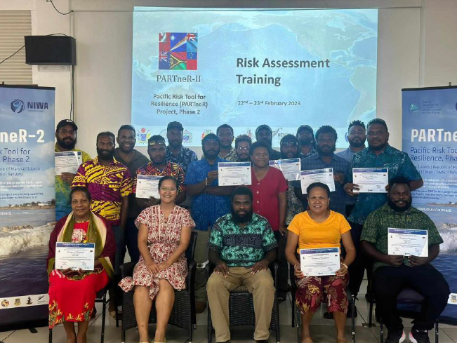
Building on previous initiatives implemented by PARTneR’s first phase and the #PCRAFI II - Capacity Building and Update of the Hazard and Exposure Database project; the PARTneR-2 project kick started its two week capacity building activities in #Vanuatu this week through a training on “An Introduction to Disaster Risk Assessment” and “Fundamentals of Geographic Information Systems (#GIS); with a particular focus on undertaking and applying quantitative disaster risk assessment outputs and exposure and hazard mapping & analysis on a GIS platform. The capacity building activities have involved participants from over 8 different agencies within the country.
The training was conducted in collaboration with the Department of Climate Change (#DOCC) under the Ministry of Climate Change Adaptation, Meteorology & Geo-Hazards, Energy, Environment and Disaster Management and is the first two of three trainings to be conducted in Vanuatu by the PARTneR-2 project; covering topics such as the introduction to multi-hazard modelling software (RiskScape) and open-source geospatial databases such as the Pacific Nexus.